Part 14 - The Road to Page, Arizona
Leaving Lake Powell, our next stop was Page, Arizona, for a tour of Antelope Canyon. Although we were just going from near the north end of the lake to the southern end, even the most direct route is quite circuitous.

Mount Hillers, as seen from Utah Route 276 north of Bullfrog. It was named for J. K. Hillers, photographer with the 1871 John Wesley Powell Colorado River Survey Party.
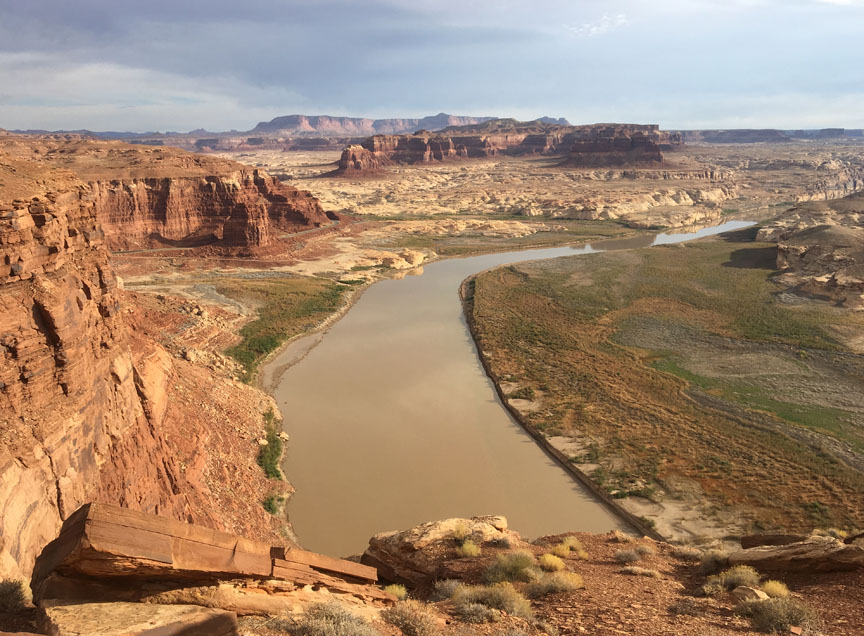
View from Hite Overlook, near where the Dirty Devil River flows into the Colorado River at the far north end of Lake Powell. Carl Hite discovered gold near here in 1883. In 1964, the rising waters of the new Lake Powell swallowed the town of Hite.

Bridge across the Colorado River near Hite Overlook.
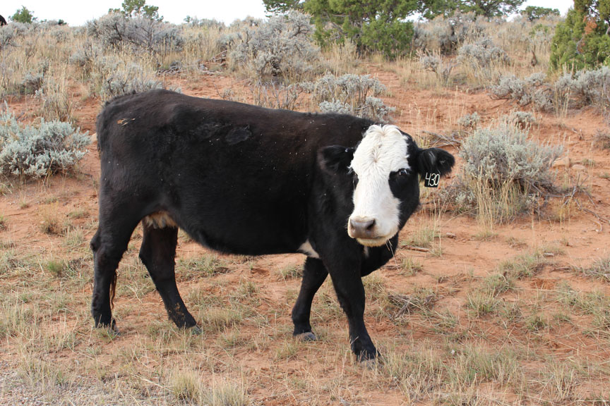
Another "open range" cow, grazing on the shoulder of Utah Route 261.
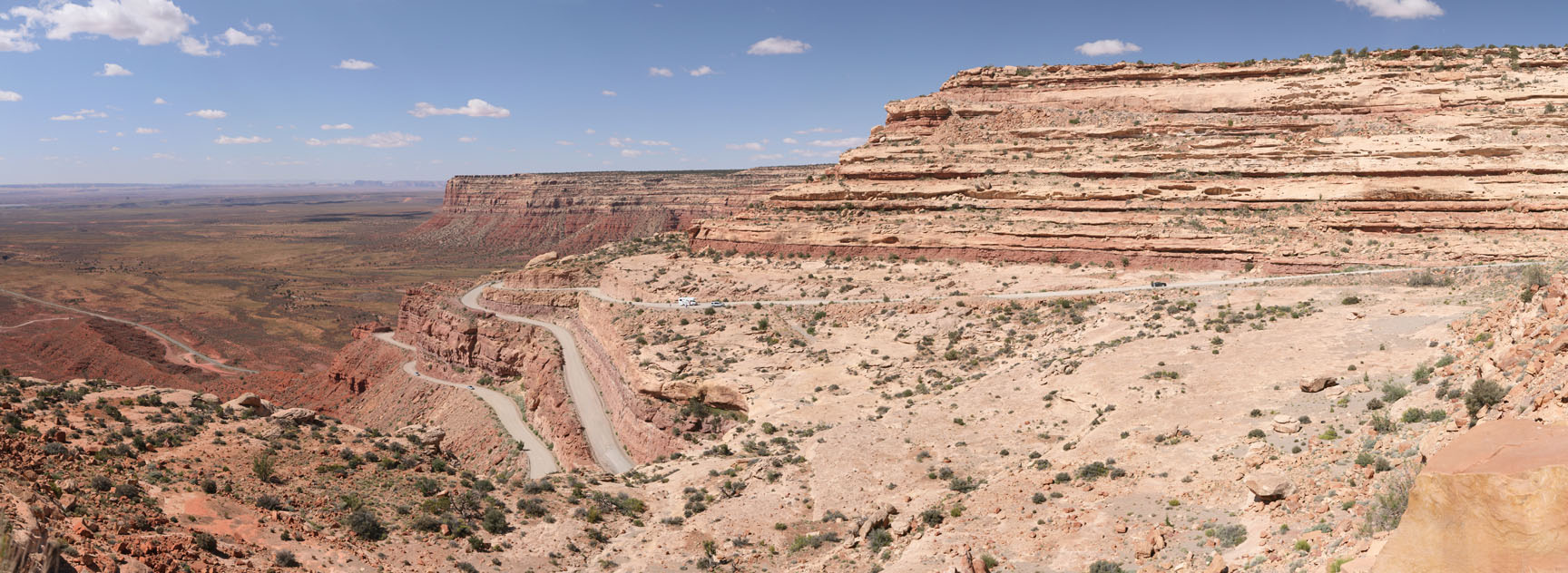
Continuing south on 261, we unexpectedly found ourselves entering the Moki Dugway. Here, the paved road becomes a series of dirt switchbacks with sharp hairpin turns. We were too terrified to take pictures until it was over. This shot looks back at the Moki Dugway. Imagine 261 coming in on the highland at top left, making several switchbacks not visible here, coming down from right to left on the slant in the center of the photo, heading back north (bottom left) toward the highland, and finally making one last 180-degree turn back toward the road visible at the bottom of the picture.
For a better look, here's a photo from Wikipedia article "Moki Dugway", by photographer Daniel Schwen.